New Header Photo – Winter Biking

The new header photo of me was taken by Ian Goodman, a photographer and equally avid winter cyclist, on a recent ride in Fish Creek Provincial Park. Ian’s been experimenting with the panorama feature on his iPhone, and I think it looks great! Thanks Ian!

(C) Ian Goodman

Bicycling to Calgary Agile Methods Users Group

I biked yesterday to the University of Calgary from the Chinook C-Train station to attend a meeting of the Calgary Agile Methods Users Group. I was glad I made it, because there was a stimulating group discussion with attendees contributing from their own team experiences.

Here’s the route I took, starting at the Chinook c-Train Station parking. Getting on to the pathway system at Chinook Center, I haded for Glenmore Dam, north to the Bow River pathway, and then past Foothills Hospital to the U of C. On the way back, I had intended to ride from the U of C to get home quick, but couldn’t leave the Hillhurst / Sunnywide Station because of an accident on the tracks downtown. After waiting a few moments, I left the train on bike (other passengers were starting to eye my bike with envy, so I got going while the going was good). I first thought I’d catch another train at the east end of downtown, but it was a warm clear night and with summer biking rapidly drawing to a close, I headed for Chinook with Google Maps as my guide.

Calgary SE / NW Bike Loop (with train!)

View in Google Maps

Google Maps Experiment

I’ve been trying to spend a day a week of focused quality time at the keyboard working on Achievo, combined with a long weekly bike ride for thinking. Last Friday, I spent the day with my laptop in a quiet corner of the Mount Royal University library (my first alma mater). Although thunderstorms were in the forecast, I was feeling lucky and set out by bicycle (with a heavy-duty garbage bag for my laptop just in case). I made it to MRU without getting wet, enjoying beautiful but ominous thunderheads overhead, and was safe and sound by the time the rain started. Two thunderstorms later the weather cleared and I was able to ride home (steering clear of some major puddles!).

So here’s to the point of this post, my first embedded Google Map. It was pretty easy to create, but for some reason I can’t get the zoom level right in the image here (the top and bottom are always cropped). Oh well, you can always open the map by clicking the link.


View Calgary SW Bicycle Loop 1 (FCPP, MRU, Weaselhead) in a larger map

Ride on!

Father’s Day 2011 Ride

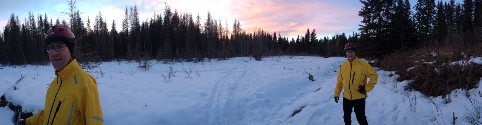
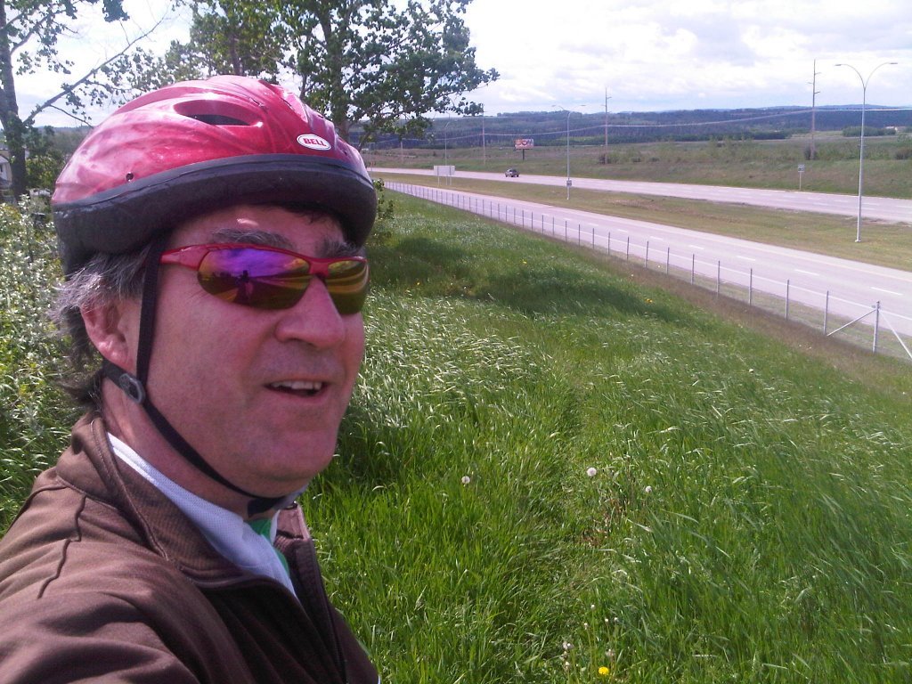
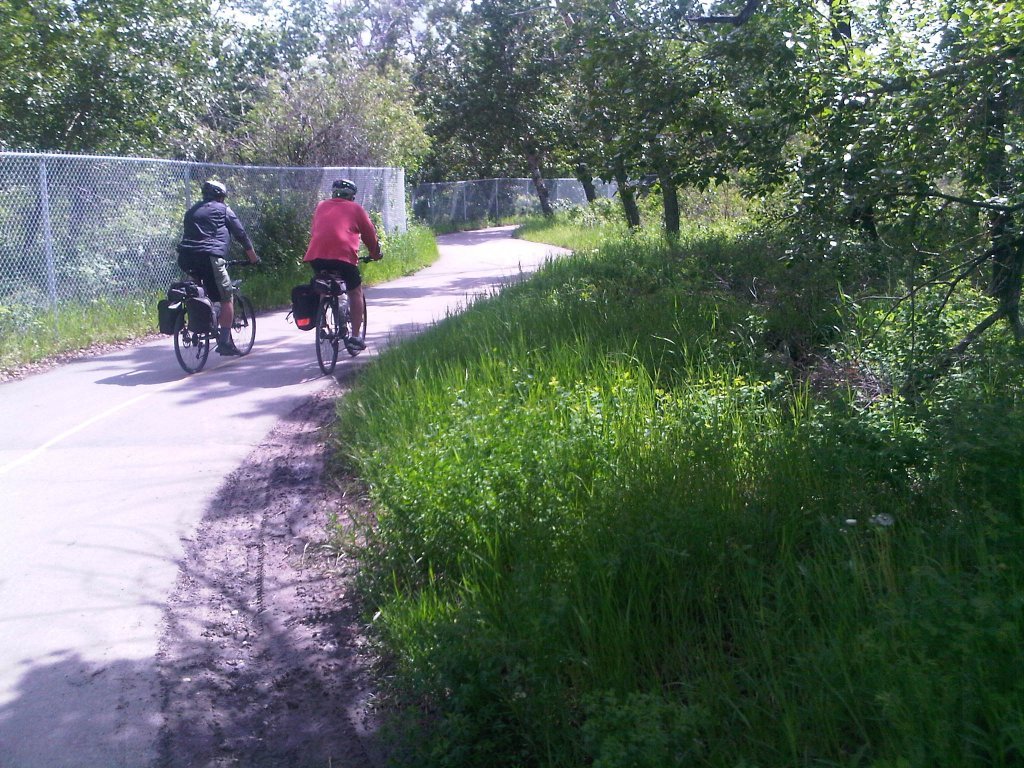
I recently cycled “the big circle” on Father’s Day with a couple of friends. It was an opportunity to explore the city, and get some fresh air after the seemingly endless rain we had been having.

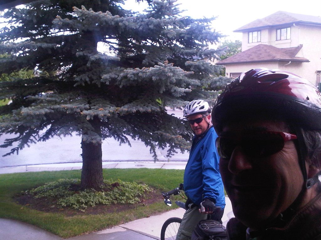
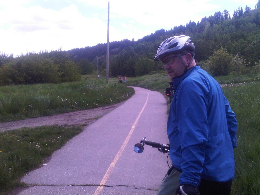
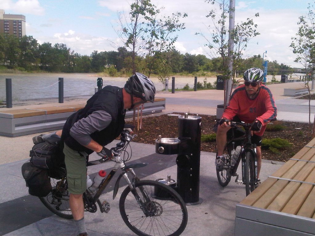
Even before the ride started, I had two flat tires. I had swapped my balding 2.25’s on my sturdy Rocky Mountain that morning for narrower 1.9’s, and had somehow managed to pinch-flat both tubes in the process. However, after some hasty patching (and as an omen of things to come, watching the first rain deluge of the day from the comfort of my garage), Ian and I we were off.

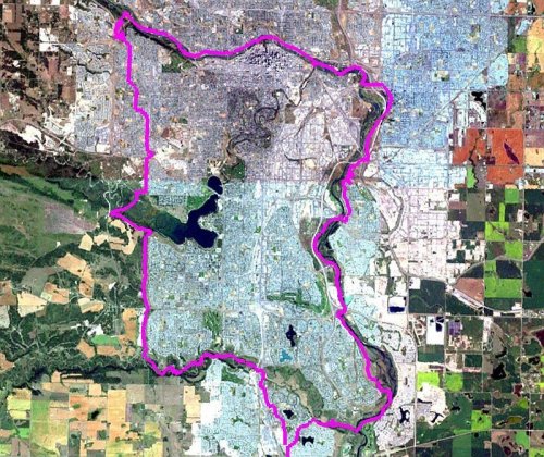
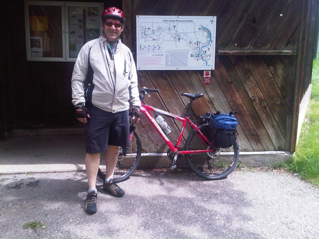
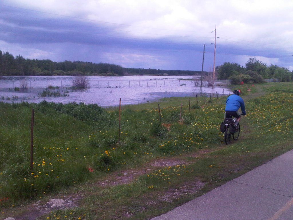
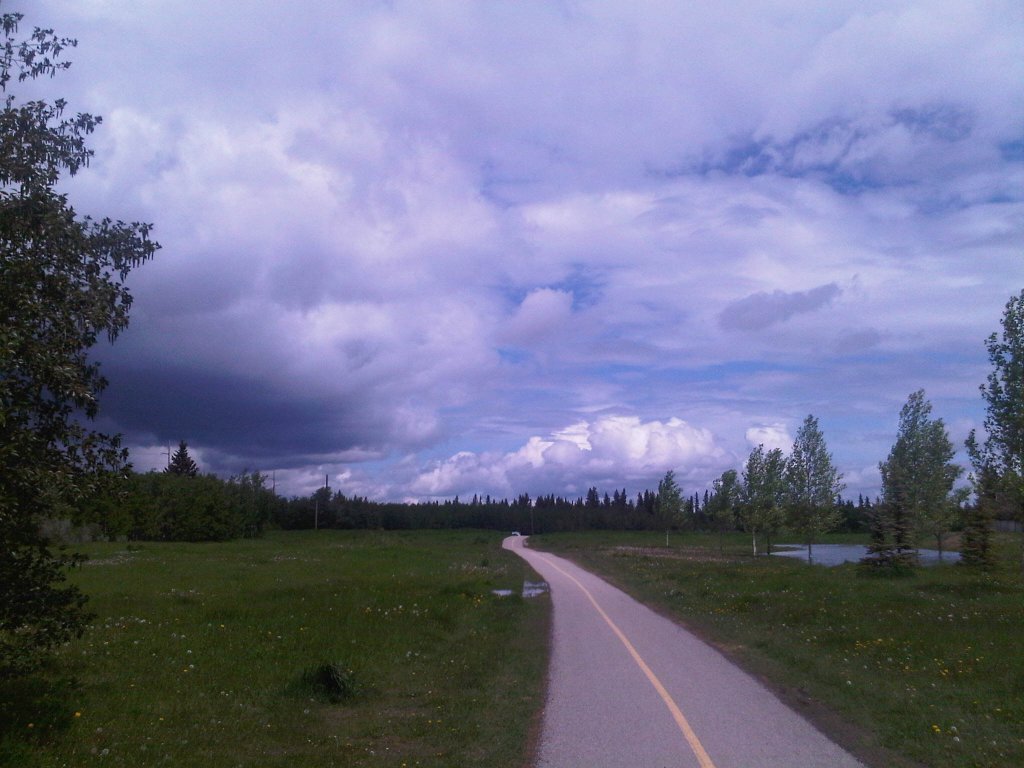
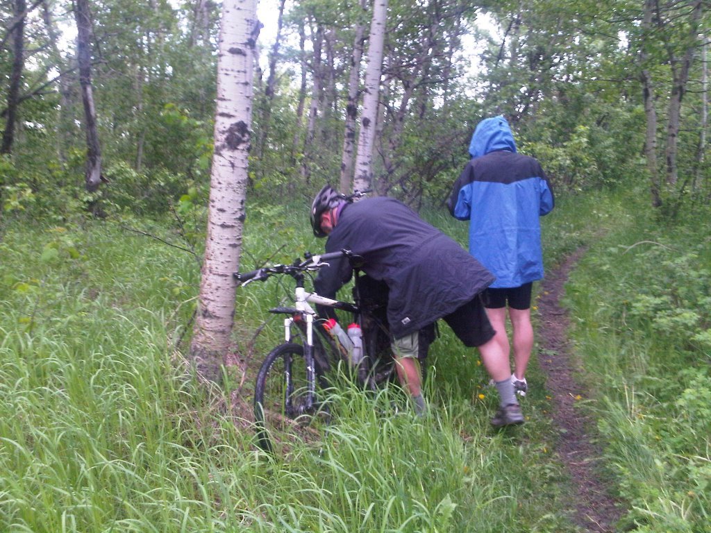
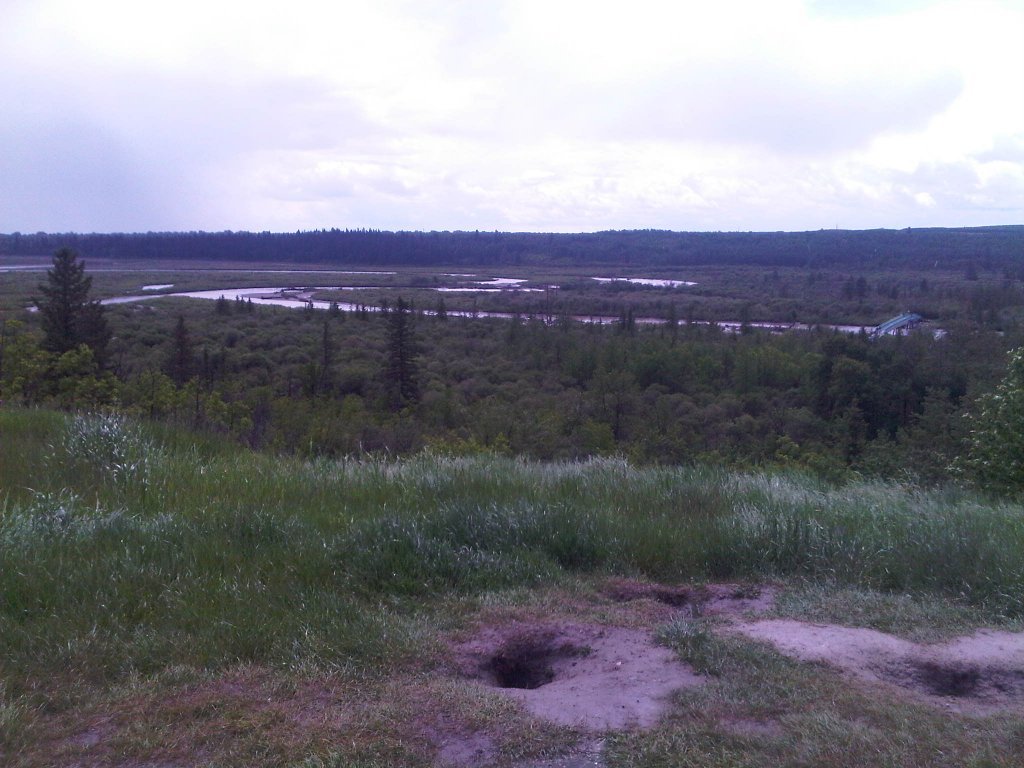
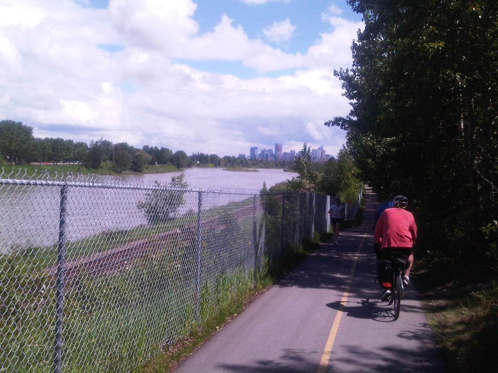
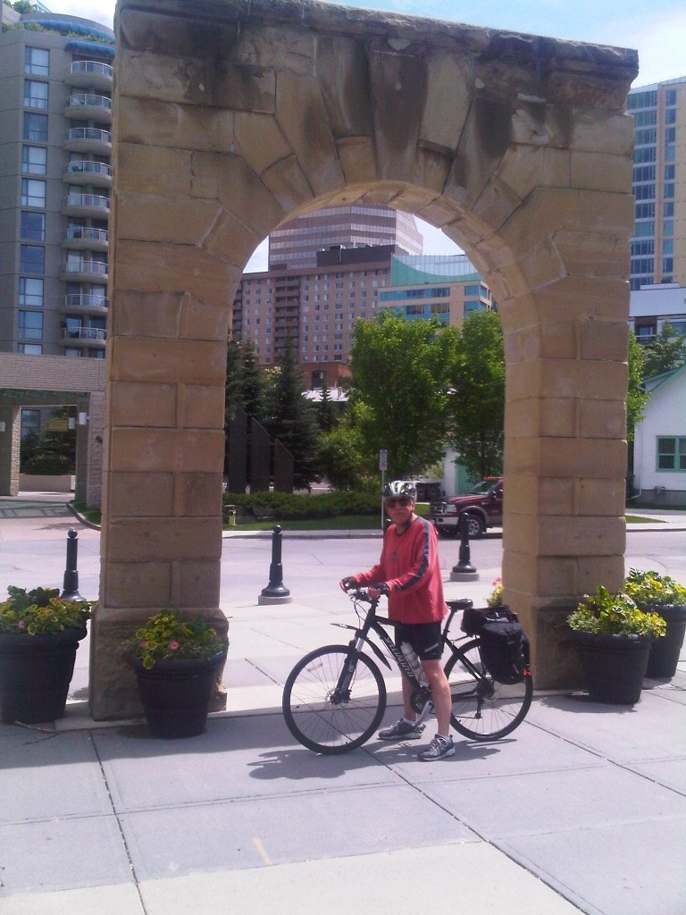
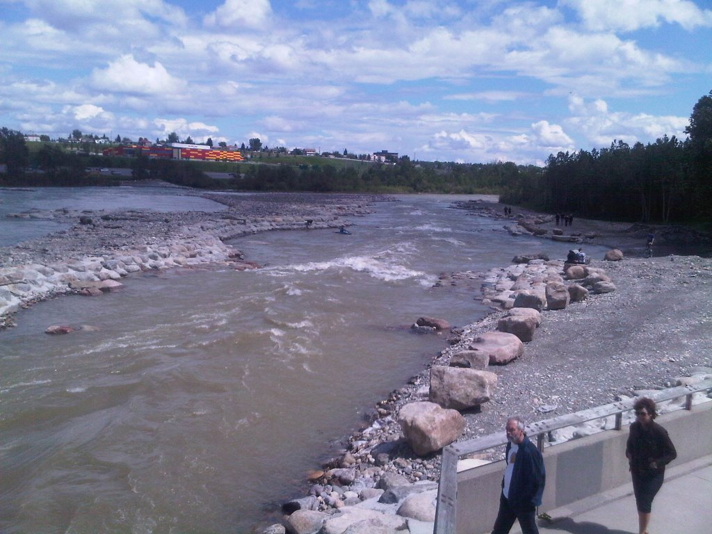
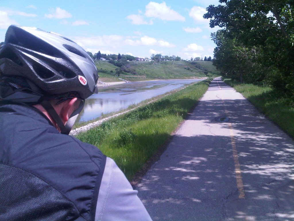
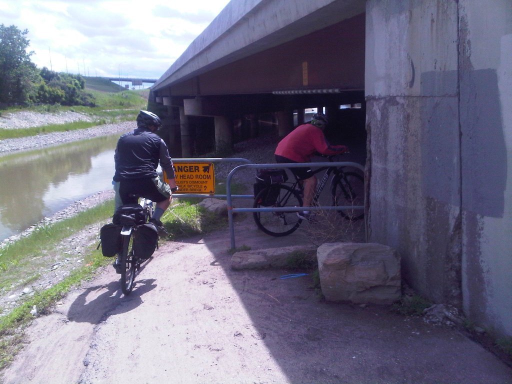
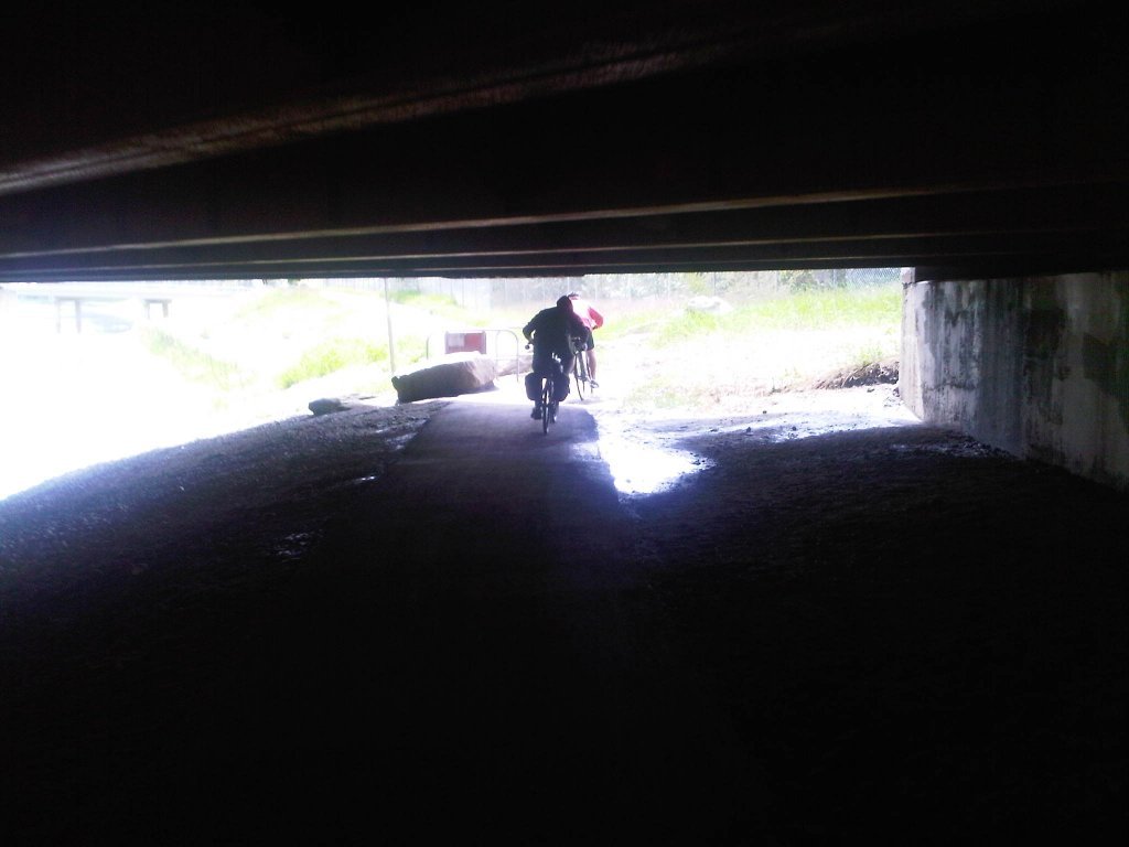
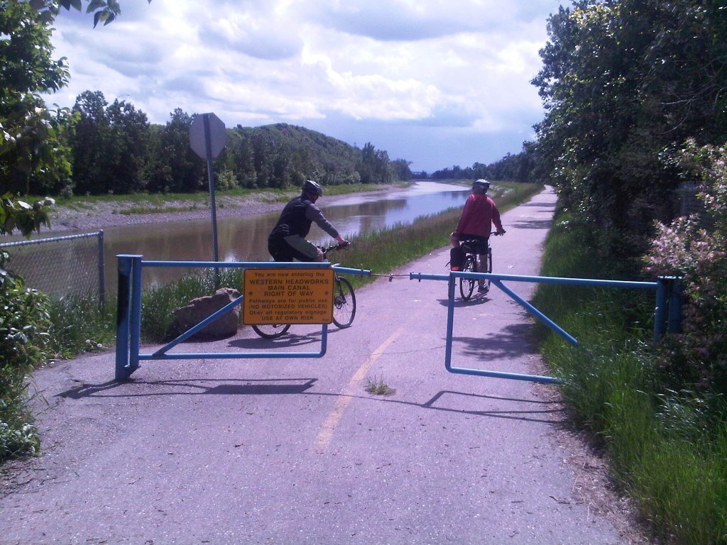
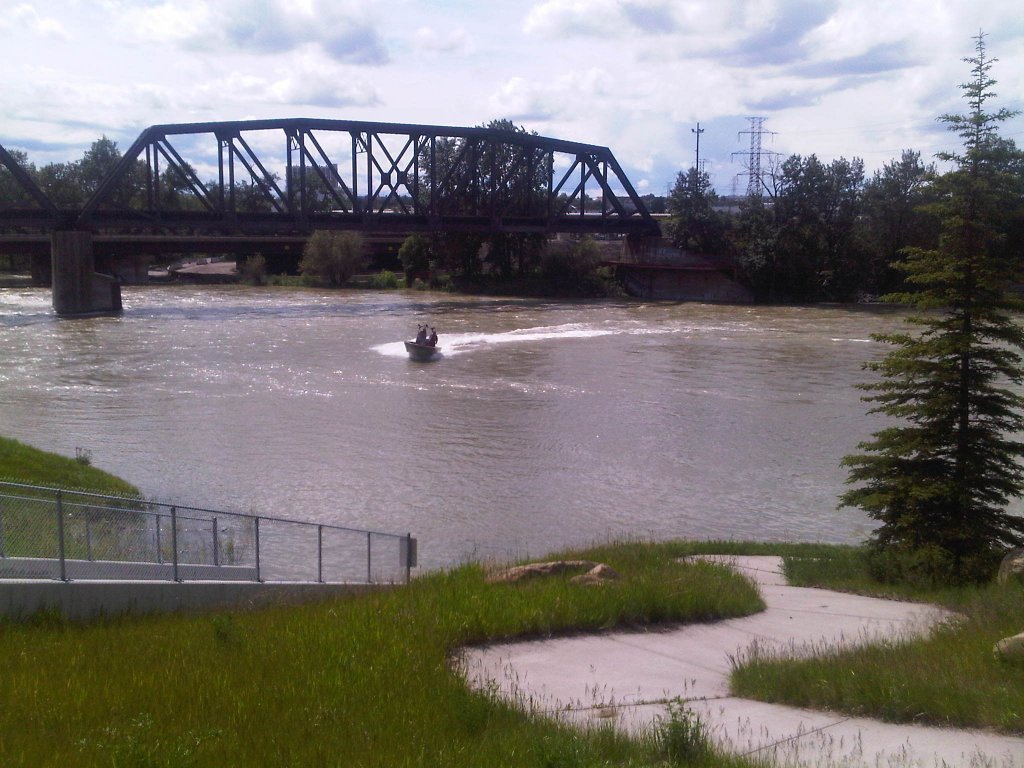
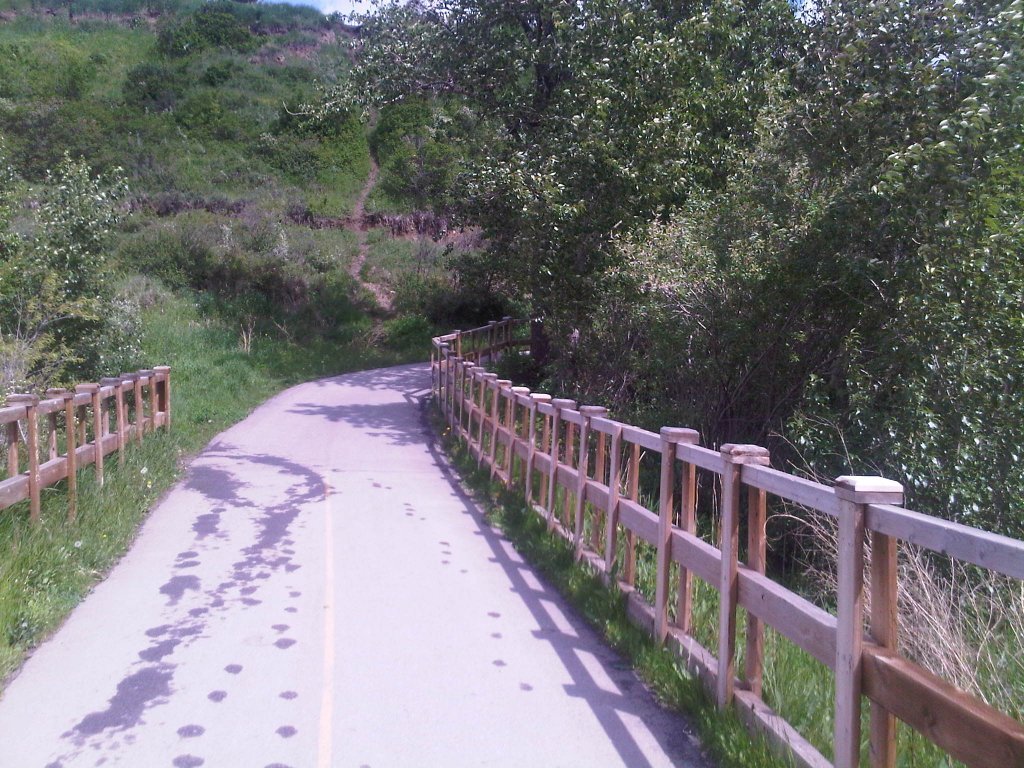
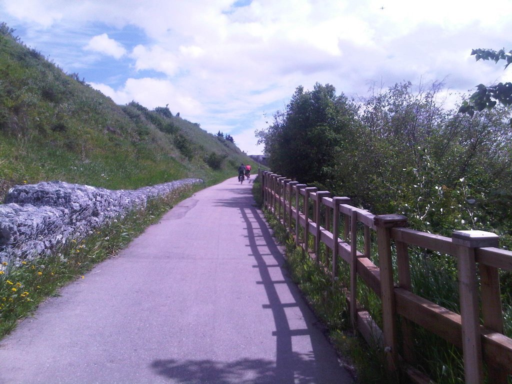
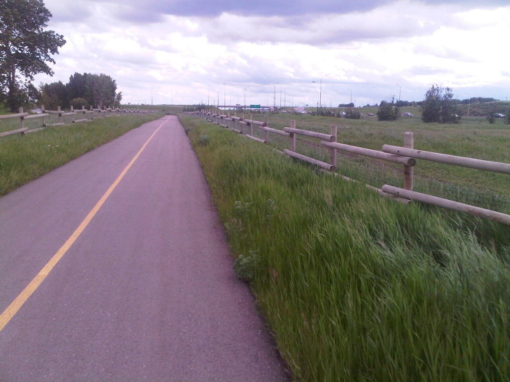
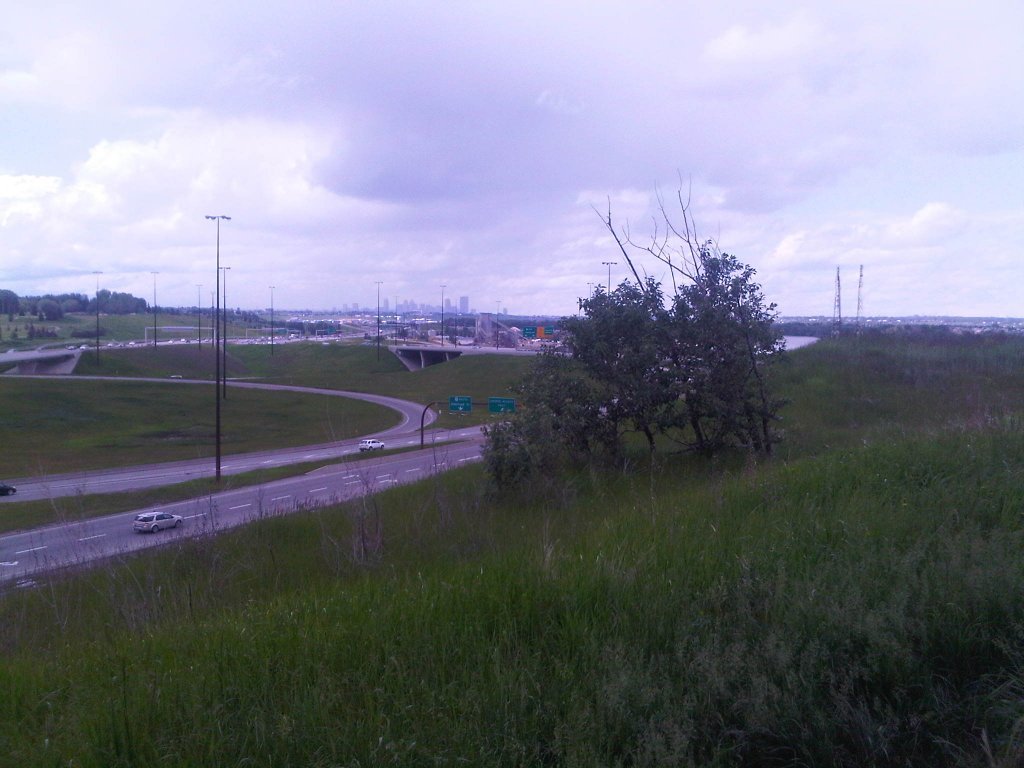
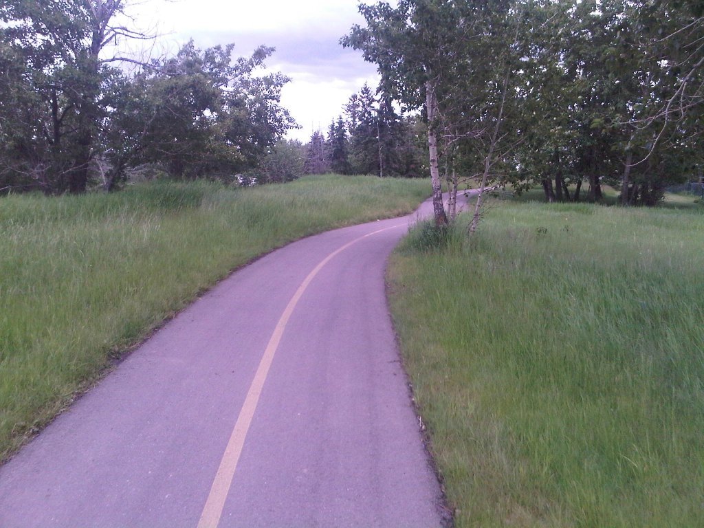
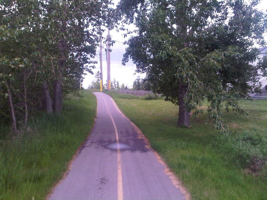
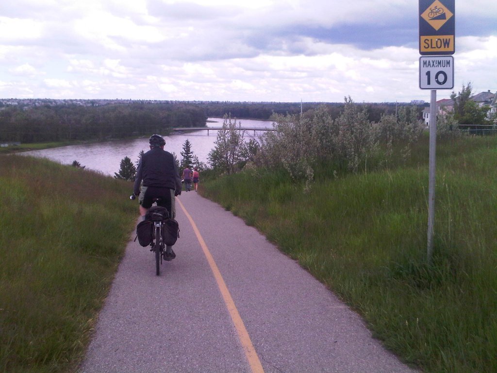
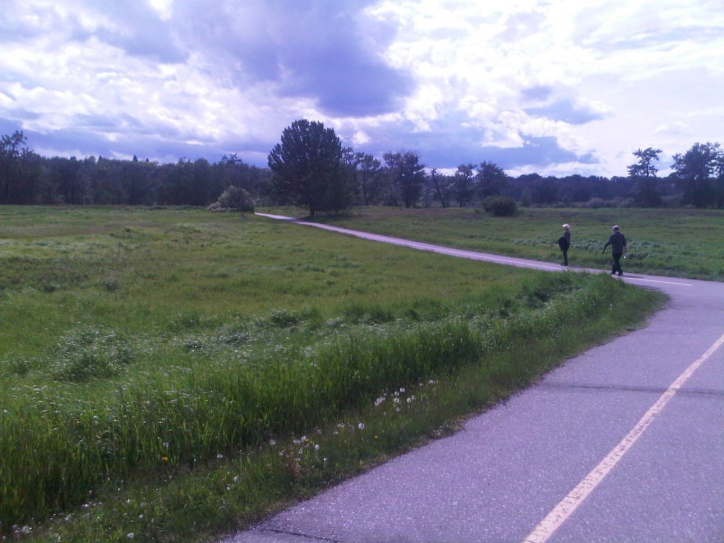
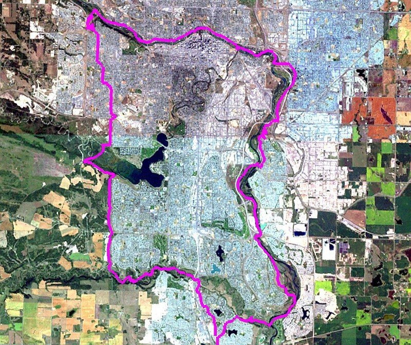
The route was a counter-clockwise loop starting and ending in Calgary’s deep-south community of Sundance. Entering FCPP (Fish Creek Provincial Park), we headed west to the end of the park, then north out of the park to the west Glenmore Weaslehead area (where Jamie met up with us). Some scenic residential riding took us through the Tri-Glen communities to Edworthy Park, where we had a snack and then followed the Bow River pathway east to downtown Calgary. Continuing south past the killer weir, we had a forced detour onto the Eastern Headlands irrigation canal due to construction blocking the pathway north of the Inglewood Bird Sanctuary. We got back onto the Bow River Pathway north of Glenmore Trail, then back into FCPP at the Bow Valley Ranch and home.

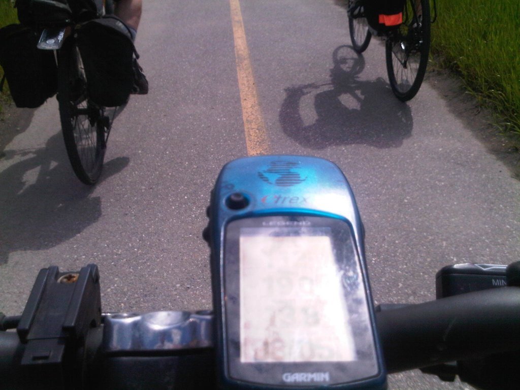
I captured our track with my Garmin Legend (you’ll see it in the slideshow), downloaded it to my PC using GPSBabel, and then mapped it using LePetitPoucet.