Winter is coming, which means it’s my birthday again. I’ve decided there will be no special milestone observation, introspection, or other significance attached to this birthday because there is too much left to do to spend time reflecting on the past (other than the standard warning that “those who do not understand it are doomed to repeat it”).
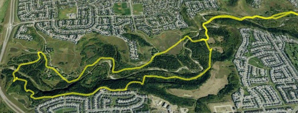
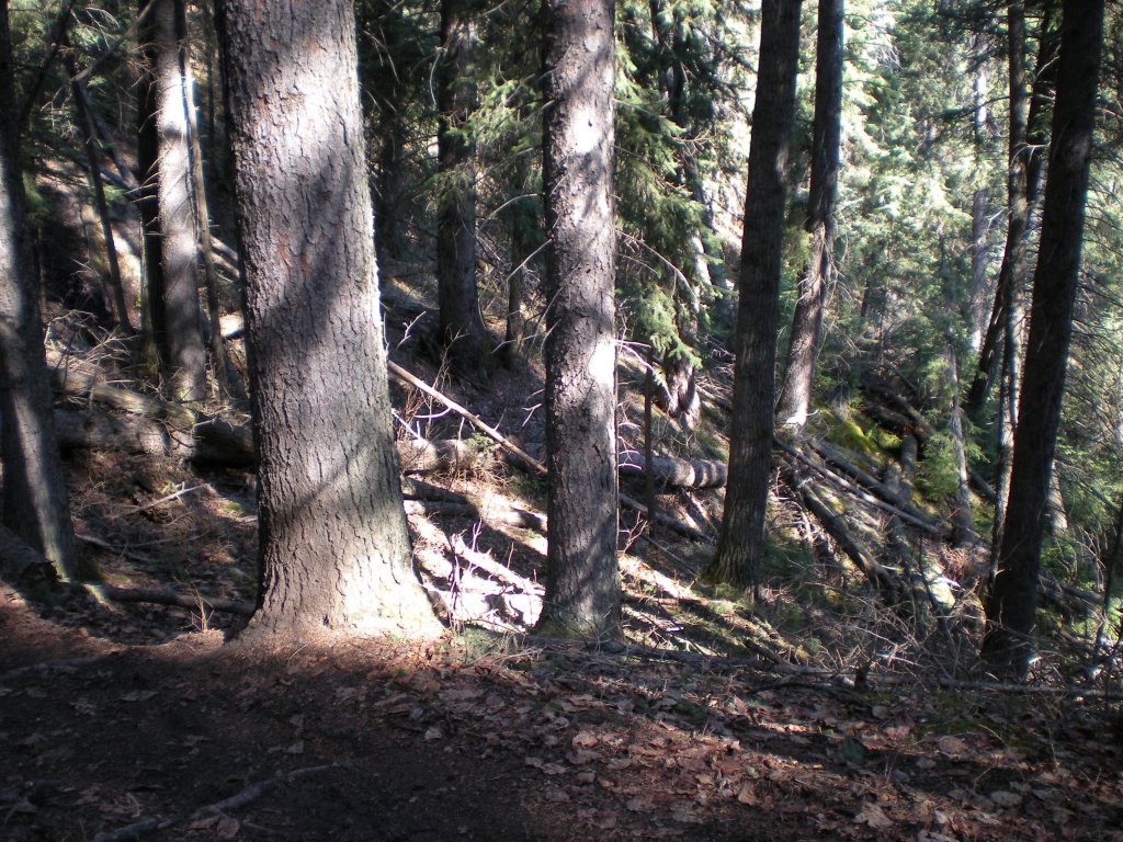
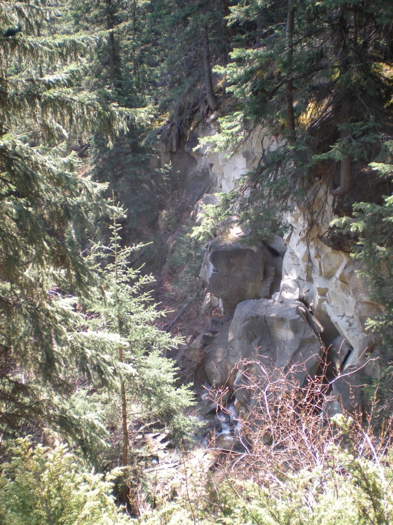
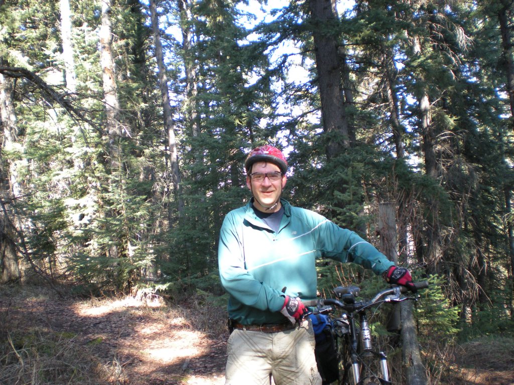
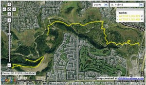
So, on the eve of having spent 50 years in this world, I went biking with my bike buddies. Where, you ask? Well, other than in a general sense, I don’t really know. Unfortunately, my ability to navigate has not gotten better with age. Downloading my gps this morning shed some clews, but unfortunately I didn’t have it turned on for the start of the ride, and there’s a bit missing in the middle (a bush jumped onto the trail, pulled me off the bike, and sent the gps flying airborne for a while, the landing from which turned it off).
Those that attempt to predict Mother Nature are saying it’s going to snow tonight, so after a short ride this afternoon it may be snow riding again until spring.
I tried a new process using only free software in order to create this map image:
- GPSBabel downloaded the track data from my Garmin etrex Legend.
- Notepad++ (set to XML language support) edited the 3-months of track data downloaded from the etrex to extract yesterday’s ride (with 20-20 hindsight, it would have been simpler to set a date/time filter in GPSBabel and only download yesterday’s data).
- GPSVisualizer uploaded the edited track data and overlayed it on a map using the Google Maps service (again with 20-20 hindsight, I could have used the web-based GPSBabel available on the GPSVisualizer website without needing to install anything on my computer!).
- IrfanView cropped a browser screenshot of GPSVisualizer down to just the map and saved it in JPEG format (which was then uploading to my blog for you to see).
Happy trails, and try to keep the tire-side down,
Dale
P.S. Isn’t free and open source software and the Web 2.0 wonderful?