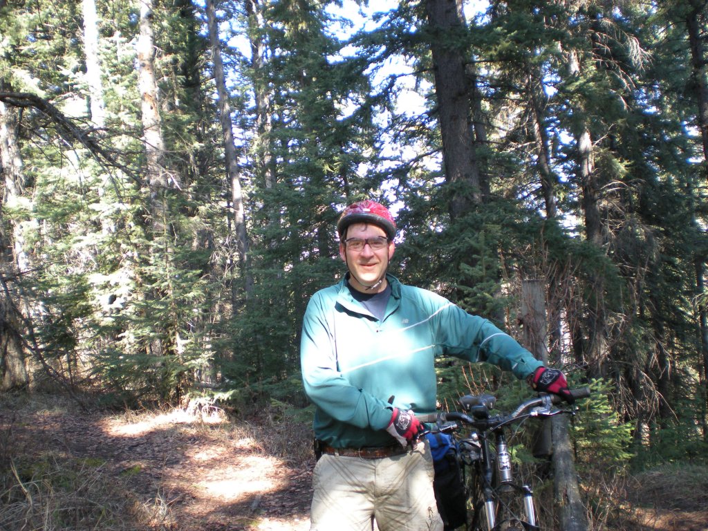
Pre-Un-Birthday Bike Ride

Winter is coming, which means it’s my birthday again. I’ve decided there will be no special milestone observation, introspection, or other significance attached to this birthday because there is too much left to do to spend time reflecting on the past (other than the standard warning that “those who do not understand it are doomed to repeat it”).

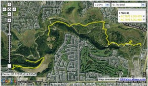
So, on the eve of having spent 50 years in this world, I went biking with my bike buddies. Where, you ask? Well, other than in a general sense, I don’t really know. Unfortunately, my ability to navigate has not gotten better with age. Downloading my gps this morning shed some clews, but unfortunately I didn’t have it turned on for the start of the ride, and there’s a bit missing in the middle (a bush jumped onto the trail, pulled me off the bike, and sent the gps flying airborne for a while, the landing from which turned it off).

2009-11-24_fcpp

Those that attempt to predict Mother Nature are saying it’s going to snow tonight, so after a short ride this afternoon it may be snow riding again until spring.

I tried a new process using only free software in order to create this map image:

  • GPSBabel downloaded the track data from my Garmin etrex Legend.
  • Notepad++ (set to XML language support) edited the 3-months of track data downloaded from the etrex to extract yesterday’s ride (with 20-20 hindsight, it would have been simpler to set a date/time filter in GPSBabel and only download yesterday’s data).
  • GPSVisualizer uploaded the edited track data and overlayed it on a map using the Google Maps service (again with 20-20 hindsight, I could have used the web-based GPSBabel available on the GPSVisualizer website without needing to install anything on my computer!).
  • IrfanView cropped a browser screenshot of GPSVisualizer down to just the map and saved it in JPEG format (which was then uploading to my blog for you to see).

Happy trails, and try to keep the tire-side down,

Dale

P.S. Isn’t free and open source software and the Web 2.0 wonderful?

2008 North American Solar Challenge

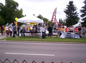
Did the multi-mode commuter thing yesterday to see the 2008 NASC (North American Solar Challenge) finals at the University of Calgary. I first drive to a Calgary C-Train Park&Ride with my bicycle in the back of the van, then rode the train downtown with my bike and gave the van keys to my daughter so the van could make it back home, and finally got back on the train to get to the University of Calgary. I reached the finish line just in time to see the U of C car cross the line (finishing a very respectable 6th out of 14 in the final standings).

100_0598-0

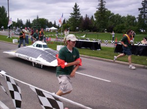
When a five minute notice was given for an approaching car, everyone headed to the finish line to watch the car, with its team jogging along side, come down the timing lane and across the checkered line. After post-finish checkouts by officials, the cars were put on display and team members answered questions. The students, together with their supporters and mentors, have made an incredible achievement. Although the vehicles may not be commercially viable, the value of the gained knowledge and experience for the students is immeasurable.

100_0602-0


It was disappointing to see the Canadian governments didn’t seem to recognize the importance of the event. Both the Federal and Provincial governments had prepared speeches read in their absence, so the sold Canadian politician attending in person was an alderman – who left me with the impression that the highlight for them was the road trip with the local media. In comparison, the US presented a speech in person, which although focusing on US achievements, nonetheless demonstrated government awareness and provided publicity for the cause. Too bad for us north of the 49th, opportunities like this don’t come often.

After watching a few more cars finish and inspecting the vehicles on display, I bought a couple shirts to both remember and advertise the occasion (proceeds going to the U of C team’s expenses), and then pointed my bike south towards home.

At the finish line ….

  • 1st – U of Michigan, 51:41:53
  • 6th – U of C, 75:42:53
  • 14th – Oregan State U, 145:20:00

https://www.dalescott.net/photoalbums/nggallery/thumbnails


Afternoon Dark Side

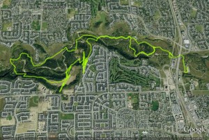
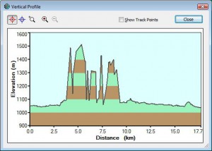
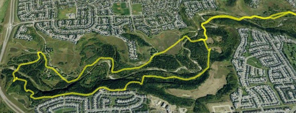
Rode the ridge, followed by the Dark Side with friends Ian and Jamie yesterday afternoon. No photo’s, but what a trip! What a grind! 17.7 km round trip from Glenfield, 1:42:42, average 10 km/h (captured using a Garmin eTrex Legend).

ridge_and_dark_side_google_earth

elevation_profile

The Dark Side (in the early morning light)

Ian and I did this this trip a few times last fall, but we were always starting on the single-track in the waning minutes of daylight, so we christened the trail “the Dark Side”. Today in the light of day it was a completely different experience.

I dropped off the recycling at the depot and parked the van at Glenfield in FCPP, then headed west on the paved path until almost 37th Street, then headed south, across the bridge and into the woods.

All the photos: